Caminantes
O Pedrouzo: your last morning to Santiago, timed
By August Frederik Kramer · Last updated 22 October 2026
The village is still asleep. The path leaves it for the eucalyptus woods.
- O Pedrouzo0.0 km
- O Amenal2.7 km
- The airport6.1 km
- Lavacolla8.9 km
- Monte do Gozo14.3 km
- Praza do Obradoiro19.3 km
19.3km, O Pedrouzo to the cathedral
268m of climbing
5.0km left at Monte do Gozo
Download the poster (PNG)Free to share and print.
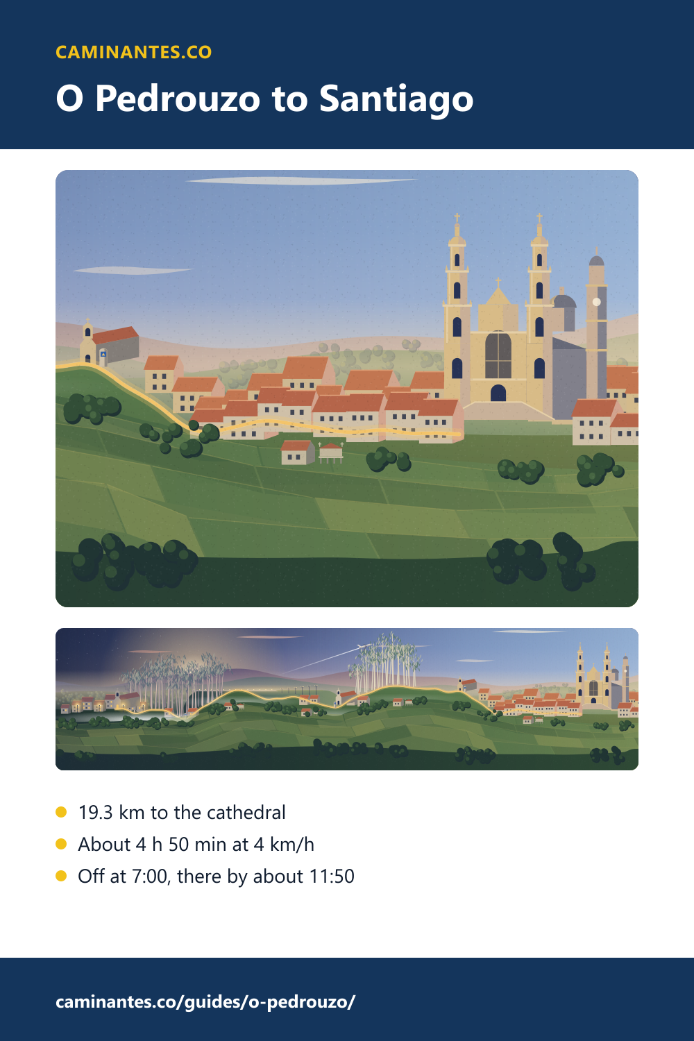
O Pedrouzo is the last night of the Camino Francés. In the morning it is 19.3 km to the Praza do Obradoiro, 268 m up and 289 m down. At a steady 4 km/h that is about 4 h 50 min of walking: set off at 7:00 without stops and you are in front of the cathedral at about 11:50.
The last day, stop by stop
On our plan the walk from O Pedrouzo is day 36 of 36 from Saint-Jean, and the last of 5 from Sarria: 19.3 km, 268 m up and 289 m down. The path leaves through eucalyptus woods and reaches O Amenal after 2.7 km. At 6.1 km it rounds the end of the airport’s runway, about 200 m from it. Lavacolla comes at 8.9 km. The day’s high point, 390 m, is at 11.7 km, just before the chapel of San Marcos on Monte do Gozo at 14.3 km. From there it is 5.0 km, mostly downhill, to the cathedral.
Every day of the walk, at one scale: the Camino Francés stage by stage.
Arzúa or O Pedrouzo?
You can walk the last 39.2 km from Arzúa in one long day or in two. On our plan it is two, with the night in O Pedrouzo: 19.9 km the first day, 19.3 km the last. In one go from Arzúa it is about 9 h 50 min of walking at 4 km/h, before any stops. From O Pedrouzo an early start puts you in Santiago before midday, with the afternoon still yours.
The day before, and the countdown from the start: Arzúa to Santiago.
O Pedrouzo, or Arca
O Pedrouzo is a village in the parish of Arca, in the municipality of O Pino, and the seat of its town hall, which moved here from Santa Irene in the 20th century. It had 898 inhabitants in 2019. That is why you will see two names: O Pedrouzo for the village, Arca for the parish and for the public albergue, which opened in 1993 at the start of the village beside the N-547 and has 126 places. The waymarked path skirts the village: its centre is about 300 m off our track, so you turn off for beds and shops.
Arriving for the Pilgrim’s Mass
From 16 October 2026, until further notice, the Pilgrim’s Masses at 9:30, 12:00, and 19:30 are in the church of San Agustín, near the cathedral, because of works at the high altar. The 7:30 Mass stays in the cathedral. Set off at 7:00 at 4 km/h without stops and you reach the square at about 11:50, 10 min before the 12:00 Mass. Check the cathedral’s own notice before you plan your morning around it.
Know these words before your Camino. Spanish is preparation, the same as boots and stages. Try the free topic
The last hill in detail: Monte do Gozo. Once you are in the square: the cathedral, step by step.
Sources: distances, heights and times are our own. Distances and heights are measured on the Camino Francés track and stage plan of the Caminantes app, the same as every stage page on this site; times are the distance over the pace you pick, plus your stops, rounded to five minutes. Village positions and the runway come from OpenStreetMap (ODbL). The village: Galician Wikipedia, with its population from the Galician statistics institute (IGE). The airport: Spanish Wikipedia. The Masses: the cathedral’s notice. The washing at Lavacolla is a tradition, not a record.
Common questions
How far is O Pedrouzo from Santiago?
19.3 km on our track to the Praza do Obradoiro, with 268 m of climbing and 289 m of descent.
How long is the walk from O Pedrouzo to Santiago?
About 4 h 50 min of walking at a steady 4 km/h, plus your stops.
Can I reach the 12:00 Pilgrim’s Mass from O Pedrouzo?
Yes, with an early start: leave at 7:00 at 4 km/h without stops and you arrive at about 11:50. Until further notice the Mass is in the church of San Agustín, near the cathedral.
Is O Pedrouzo the same place as Arca?
O Pedrouzo is the village; Arca is its parish, and the public albergue is named after it. Both are in the municipality of O Pino.
Does the Camino pass the airport?
Yes. 6.1 km after O Pedrouzo the path rounds the end of the runway, about 200 m from it.
Keep reading
Nájera: the long day from Logroño, and the legend of the cave
Walk Logroño to Nájera in four pictures, with nearly all the climbing done by the Alto de San Antón, then follow the falcon into the cave under the red cliffs. 29.3 km.
Frómista: the four locks of the Canal de Castilla and San Martín
Walk the towpath along the Canal de Castilla, fill four locks and watch a barge climb, then reach one of Spain’s best-known Romanesque churches: day 17 from Saint-Jean.
Carrión de los Condes and the long road with no village
Out of Carrión the Camino Francés runs 17.1 km on the old Roman road with no village, the longest gap between two villages on the whole route. Pick your pace and walk it with the clock running.
Take it with you
Caminantes is free, works offline, and plans your stages around your own legs rather than a guidebook's.